
GROW Portal
15.02.2024
GROW Portal , Daily Current Affairs, RACE IAS : Best IAS Coaching in Lucknow
|
For Prelims:About GROW Portal, The key features of the system |
Why in the news?
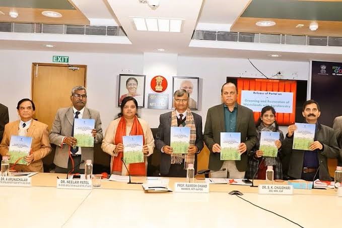
Recently, Aayog Unveils GROW Portal for Agroforestry Mapping.
About GROW Portal:
- The "Greening and Restoration of Wasteland with Agroforestry (GROW)-Suitability Mapping" portal allows universal access to state and district-level data.
- The GROW report and portal was launched by a Member of NITI Aayog.
- It is hosted on the Bhuvan website.
- The GROW initiative aligns with national commitments, aiming to restore 26 million hectares of degraded land by 2030 and create an additional carbon sink of 2.5 to 3 billion tonnes of carbon dioxide equivalent.
- The initiative, led by NITI Aayog, involved a collaborative effort from multiple institutions and employed advanced technologies such as remote sensing and GIS to assess agroforestry suitability across all districts in India.
- Utilizing thematic datasets, the project resulted in the creation of an Agroforestry Suitability Index (ASI). This index enables national-level prioritization for greening and restoration projects.
- This project on prioritization of wasteland areas suitable for greening is based on the analysis of five remote sensing derived thematic layers: land use, wasteland, slope, water proximity and soil organic content.
- These parameters were selected as a result of expert consultations and considered to be the most critical layers in identifying areas that are amenable to interventions with agroforestry. Highest weightage was given to wastelands.
- The developed system provides information on areas suitable for agroforestry across India.
- The areas available in the system are classified as highly suitable, moderately suitable, and less suitable for agroforestry.
The key features of the system:
○Generates district-level information on wasteland areas suitable for agroforestry
○Generates area prioritization regime i.e. highly suitable area, moderate and less suitable for agroforestry
○Generates live maps
○Generates area analysis-statistic report
○Offer an interactive mode/tool that provides flexibility in handling the weights as per local conditions/need
Source:PIB